Ways to customize routes in Mult.dev?
From global flights to hiking trails — mult.dev supports manual input, GPS files, and full route customization for your video.
mult.dev Team
|July 24, 2025
|5 min read

What Types of Routes Can You Create in mult.dev?
Whether you’re creating a cinematic journey across continents or showcasing a detailed cycling trail, mult.dev offers powerful, flexible route-building tools. You can mix transport modes, use manual or real-world data, and customize visuals to match your story — whether real or imagined.
This guide covers all the supported route types, input methods, and transport modes available on mult.dev.
🧭 Route Creation Methods
There are two main ways to create routes in mult.dev:
1. Manual Routes
You can manually add locations (cities, addresses, or coordinates), reorder them, and choose how the route connects. This method is ideal for storytelling, concept planning, or fictional journeys.

2. Import GPS Files (Pro only)
Upload .gpx, .kml, or .geojson files from tools like Strava, Komoot, Garmin, or Google Earth. This is perfect for visualizing:
- Real hikes or bike rides
- Multi-day trips
- Data from navigation apps
Supported formats:
.gpx.kml.geojson
🚦 Navigation Types (Route Logic)
mult.dev supports three navigation logic types:
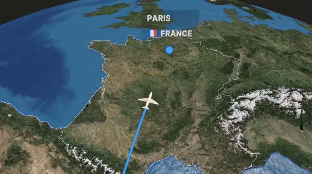
✈ Air Routes (Free)
Straight-line travel between locations. Best for flights, conceptual movement, or teleportation-style jumps.
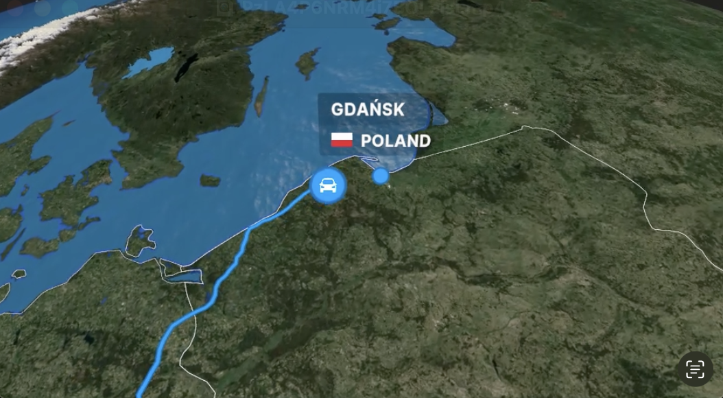
🚗 Land Routes (Pro only)
Realistic road navigation using Google Maps data — perfect for road trips, car rallies, or scenic routes.

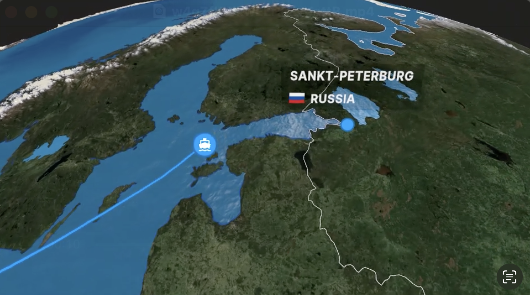
🚢 Sea Routes (Pro only)
Designed for ferries, cruises, or long-distance sailing journeys, with marine-aware pathfinding.

You can mix different navigation types within a single video.
🚙 Transport Modes (Visual Style)
Each route segment can be paired with a transport icon that moves along the path. The icon changes the style and adds personality to your journey.
Available icons include:
- Airplane ✈ (Free)
- Car 🚗
- Train 🚆
- Boat ⛴
- Helicopter 🚁
- Motorcycle 🏍
- Camper 🚐
- Bicycle 🚲
- Walking 🚶
- Tuk-tuk 🛺
These can be assigned to any route segment — you’re not locked into one mode per video.
🗺 Route Appearance Options
You can choose how the line behaves and whether an icon appears:
| Icon | Description |
|---|---|
Airplane | Icon moves along route (default) |
- | Line only, no moving icon |
o | Invisible: no line or icon shown |
This gives you control over how segments appear — perfect for transitions, pauses, or symbolic connections.
🌍 Global Support & Country Flags
All countries and regions are supported. When you add a location, its flag is shown on the route. You can toggle flags on/off or replace them with emojis for custom styles.
Flags are automatically detected from location data.
🎨 Styling & Customization
mult.dev offers full customization of your video route:
- Set point labels (title, emoji, or flag)
- Customize route color and width
- Control animation speed
- Toggle display elements
- Choose music, language, and themes
These options help you tell a clear, on-brand story for social media, presentations, or personal projects.
✅ Summary: What mult.dev Supports
| Feature | Free Users | Pro Users |
|---|---|---|
| Manual route creation | ✅ | ✅ |
| Import GPS tracks | ❌ | ✅ (.gpx, etc.) |
| Air routes | ✅ | ✅ |
| Land/Sea routes | ❌ | ✅ |
| Multiple transport modes | ❌ (Airplane only) | ✅ (10+ icons) |
| Flag customization | ❌ | ✅ |
| Full animation control | ✅ | ✅ |
🔗 Related Resources
Ready to bring your journey to life? Try creating a route today at mult.dev.
Published on July 24, 2025
Last updated on October 25, 2025